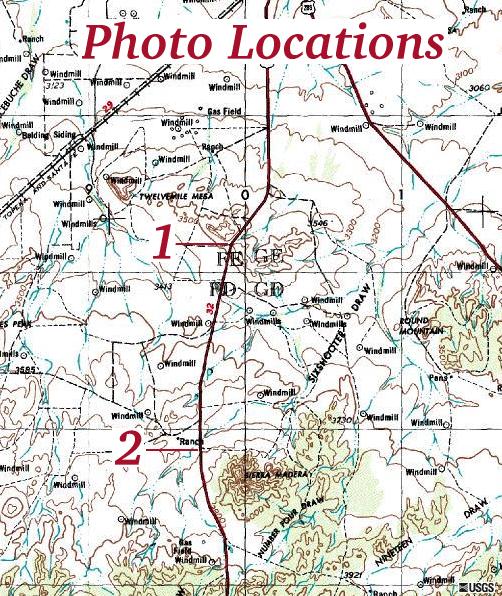
Topographic map of the Sierra Madera meteor crater region showing where the photos below were taken from. Map from the US Geological Survey via the Microsoft Terraserver .
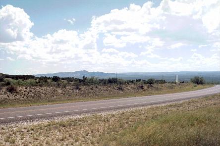
View from the North rim(?) looking South. The central peak is visible to the left of center.
The central peak from almost the closest point on the road.

| Return to Home Page | Latest update: May 29, 2001 |